Meet PEA Group’s Newest Drone Pilot – Chris Johnston
Please join us in congratulating PEA Group’s Chris Johnston, Engineering Technician, on his recent obtainment of an FAA-issued remote pilot license for flying drones. Through the encouragement of the geotechnical department, Chris attended a class through NOAR Technologies and later took a two-hour examination to receive his license.
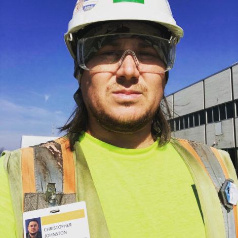
Chris joins PEA Group’s drone team as the fourth FAA certified drone pilot. Now licensed, he can perform a number of surveys and assessments, including GPR, topographic mapping, and roofing assessments that involve infrared scanning.
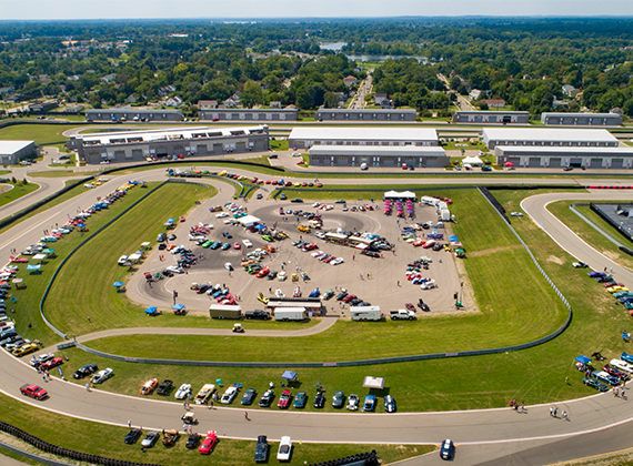
Drone technology allows our team numerous opportunities for fully understanding sites. Utilizing drone technology, our drone pilots are capable of performing land survey practices that were previously deemed implausible. Where once our team members were limited by the terrain, our drone pilots are able to aerially map a site. Drones, unlike total stations, can produce thousands of measurements of a site which can be represented in several different formats. Capturing topographic data through the use of a drone is proven to be faster than traditional land-based methods, which means survey results are significantly lower in cost.
Chris has already used his new license for several projects and is excited to continue to do so.
About Chris Johnston
Chris Johnston graduated from Western Michigan University with a Bachelor of Science in Geology and additionally attended geological field study classes at the University of Michigan. Chris has been with PEA Group for three years as an Engineering Technician. He is licensed in four states, has several certifications in addition to his remote pilot license, and is a US Radar Advanced Operator. Chris has worked on several notable PEA Group projects, including the FCA Mack Engine Plant, the Ford Estate Pool House, the GM Global Tech Center, and the Henry Ford Medical Center. A typical day for Chris can include inspecting a drilling project, analyzing soils, using Ground Penetrating Radar, utilizing drones for land surveying, and more.