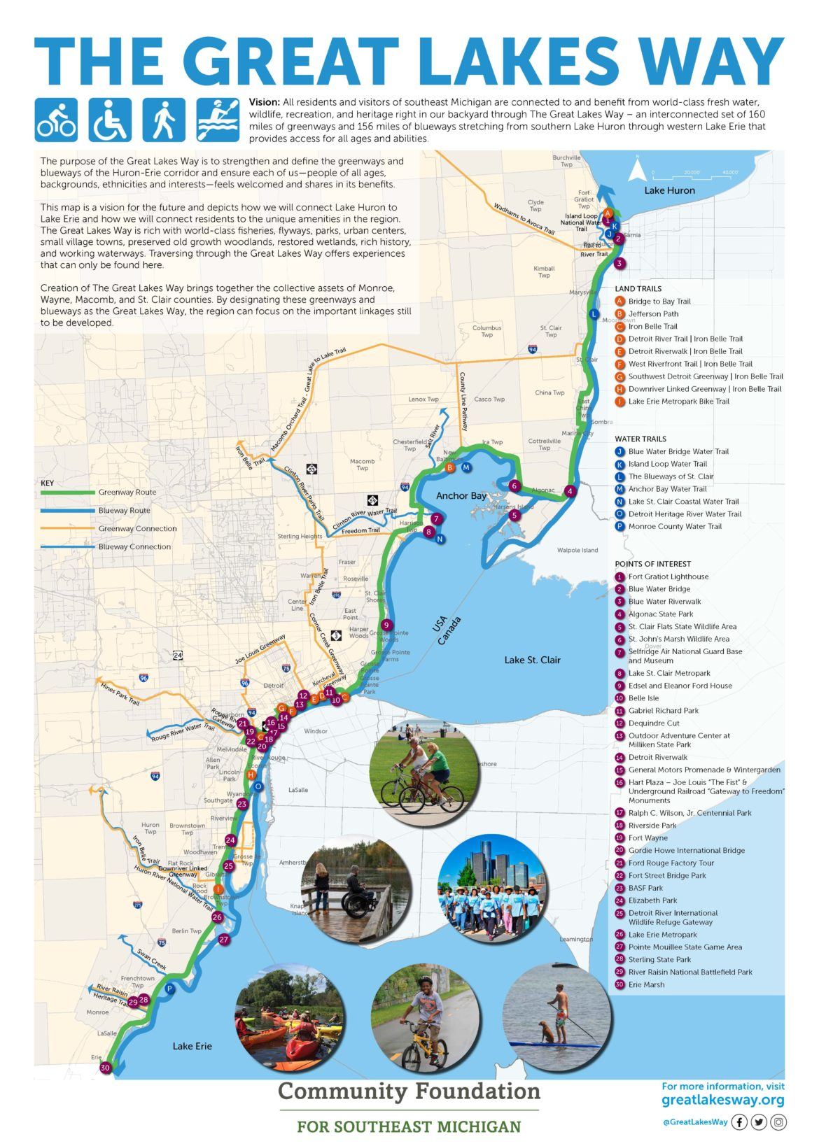
The Great Lakes Way is an interconnected network of over 160 miles of land trails (greenways) and 156 miles of water trails (blueways) between Lake Huron and Lake Erie. The Great Lakes Way will have an immense impact on the community, providing recreational activities for people of all backgrounds in Southeast Michigan. PEA Group was retained by the Community Foundation for Southeast Michigan (CFSEM) to provide trail design services.
PEA Group compiled data on existing blueways and greenways to identify gaps in existing infrastructure. The project started with the development of a double-sided vision map to use as a marketing tool for communities and non-profits to gain funding and support. PEA Group met with a team of stakeholders monthly to ensure the Great Lakes Way met the needs and vision of the groups involved.
The next step of the project included collaborating with SEMCOG to create an interactive website using GIS data and research to depict which sections of the trail are complete, and what needs to be done in the future. The website also highlights the cultural and historical points of interest along the route.
PEA Group continues to collaborate with CFSEM and meet with the stakeholder group. Our team recently completed a gap study to help determine funding needs to make this trail a reality. This resulted in a magnitude of cost to finish the entire route.
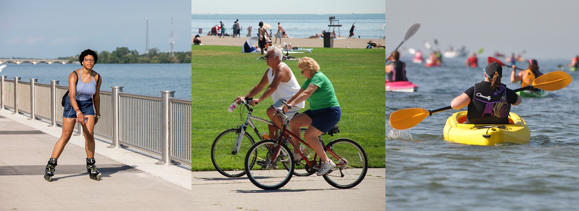
The Great Lakes Way establishes access to recreational activities such as hiking, biking, walking, cross-country skiing, swimming, fishing, kayaking, birding, and more. In addition to recreation, the trails connect users to several historical and cultural sites, such as the River Raisin Battlefield Park, Underground Railroad landmarks, and the Ford Rouge Factory. Free to users year-round, the Great Lakes Way is available to individuals of all backgrounds, promoting social, gender, racial, and economic equity.


